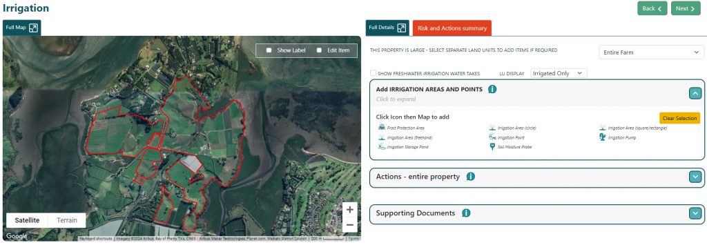
To draw and save a line map feature, you click the icon to select it, then click on the map where the line feature starts, and then trace along the feature to join lines up. Once complete, click on the endpoint with the pointing hand mouse icon and the add/edit item window will pop up for you to add all relevant information.
To draw a circle feature select the icon, click, and drag out the circle out from the start point. When you release the click, the add/edit item window will pop up.
Drawing a freehand/polygon is done by selecting the icon for the feature then tracing around the feature until the endpoint meets the start and the pointing hand mouse icon appears. This should bring up the add/edit item window.
Adding in a point item is done by selecting the icon and then clicking the location of it on the map. This should bring up the add/edit item window.
Complete all relevant information about the mapped irrigation area/point.