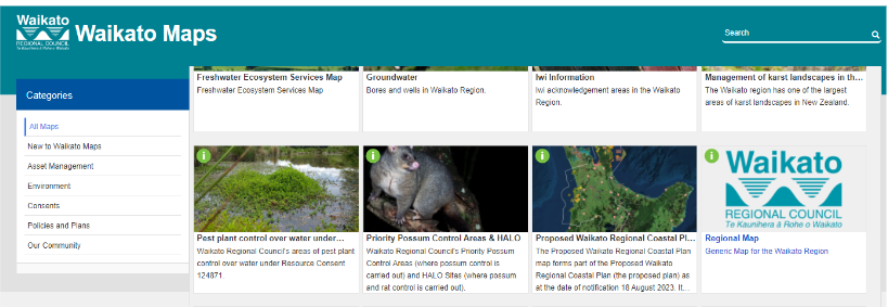
Most councils have online mapping available form which you can export property boundaries from. In this guide, we’ll use the Environment Waikato system as an example. The link is
https://waikatomaps.waikatoregion.govt.nz/Gallery
Once on this page look for the Regional Map section and open that link.
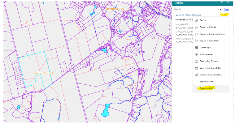
Once in the map system use the search function and search by address or valuation number (or just manually find the property).
Once you’ve found the property, click on it and then click the 3 dots in the top right-hand corner of the screen. Then click on “export to KMZ”
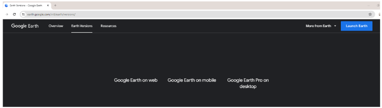
Now search in Google for Google Earth Pro. It’s free to use so once you’ve found it just hit the Launch button.
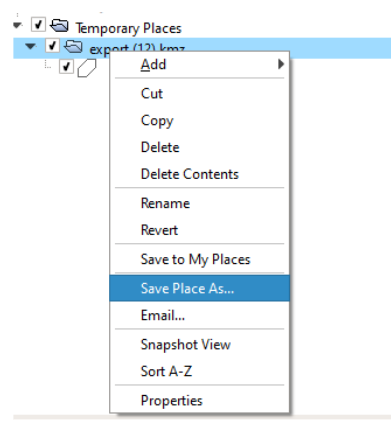
Right click the file folder, and select Import KML/KMZ file.
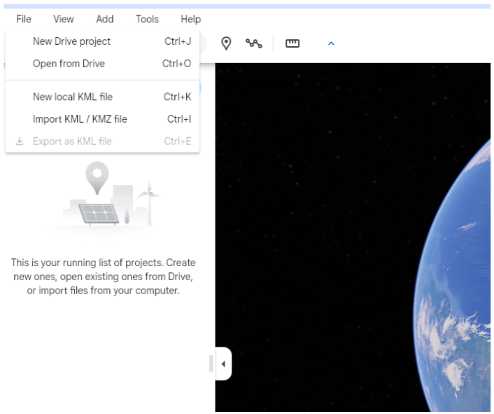
Now find the KMZ file you exported from the Regional Authority website
click “Save Place As…” and then give the file a name you’ll easily find later and be sure change the “Save as Type:” to .KML
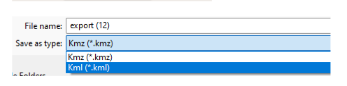
Once saved like this is saved as a .KML file it should now import to our system.
This is the easiest way to convert files to KML but it doesn’t work for all files. If you stick to exporting from council websites it should work as they mostly all use the same GIS system. If you strike problems just call our helpdesk on 0800 726 695 and we’ll help.