The Land And Erosion page is a mapping page where the plan can highlight and address areas of the farm with the following features – significant sloped areas that are grazed or cut, forestry areas, erosion areas, critical source areas (overland flow paths that can accumulate water and contaminants and carry these to a waterway), areas that are protected by a covenant, bush areas, indigenous freshwater biodiversity or habitat areas, areas that hold water and areas that have artificial drainage installed.
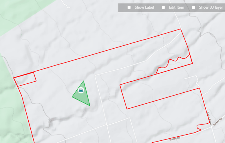
To help you with the mapping process, the page opens in Google terrain view (see above). It can be changed back to the satellite view if preferred. As always, simply click on the icon you want to add to the map and drop it onto the correct location. You can then add any details and risks attached to this feature in the pop-up form.
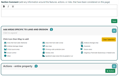
If you feel it’s logical to do so, you can also add an action for the entire farm rather than any of the individual features you’ve added to the map. You can also add some general comments to the section at the top of the page – these may help explain your choices and will appear in the final plan report.